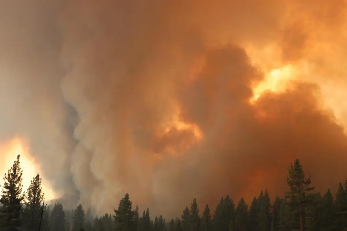
On Friday, the US Department of Defence began providing real-time satellite and sensor data to Canadian authorities, claiming that the technology would aid in the faster identification of new fires as the country faced one of its most deadly early wildfire seasons in history.
The United States has already sent over 600 firemen to Canada to help fight the fires. President Joe Biden, who has connected wildfires to climate change, said US officials were keeping an eye on air quality and flight delays.
“Beginning today, DOD personnel will analyse and share real-time data derived from US satellites and sensors and convey it via a cooperative agreement between the US National Interagency Fire Centre and the Canadian Interagency Forest Fire Centre”, said Adam Hodge, a spokesperson for the US National Security Council.
He also stated that the Biden Administration was deploying extra US Department of the Interior (DOI), USDA Forest Service (USFS), and state wildland firefighting personnel and equipment to Canada.
Canada is experiencing its most catastrophic wildfire season on record, with about 4.8 million hectares (48,000 square km) already burned, an area larger than the Netherlands.
Also read: Ukraine Rejects To Hold Peace Talks With Russia
To read more such news, download Bharat Express news apps