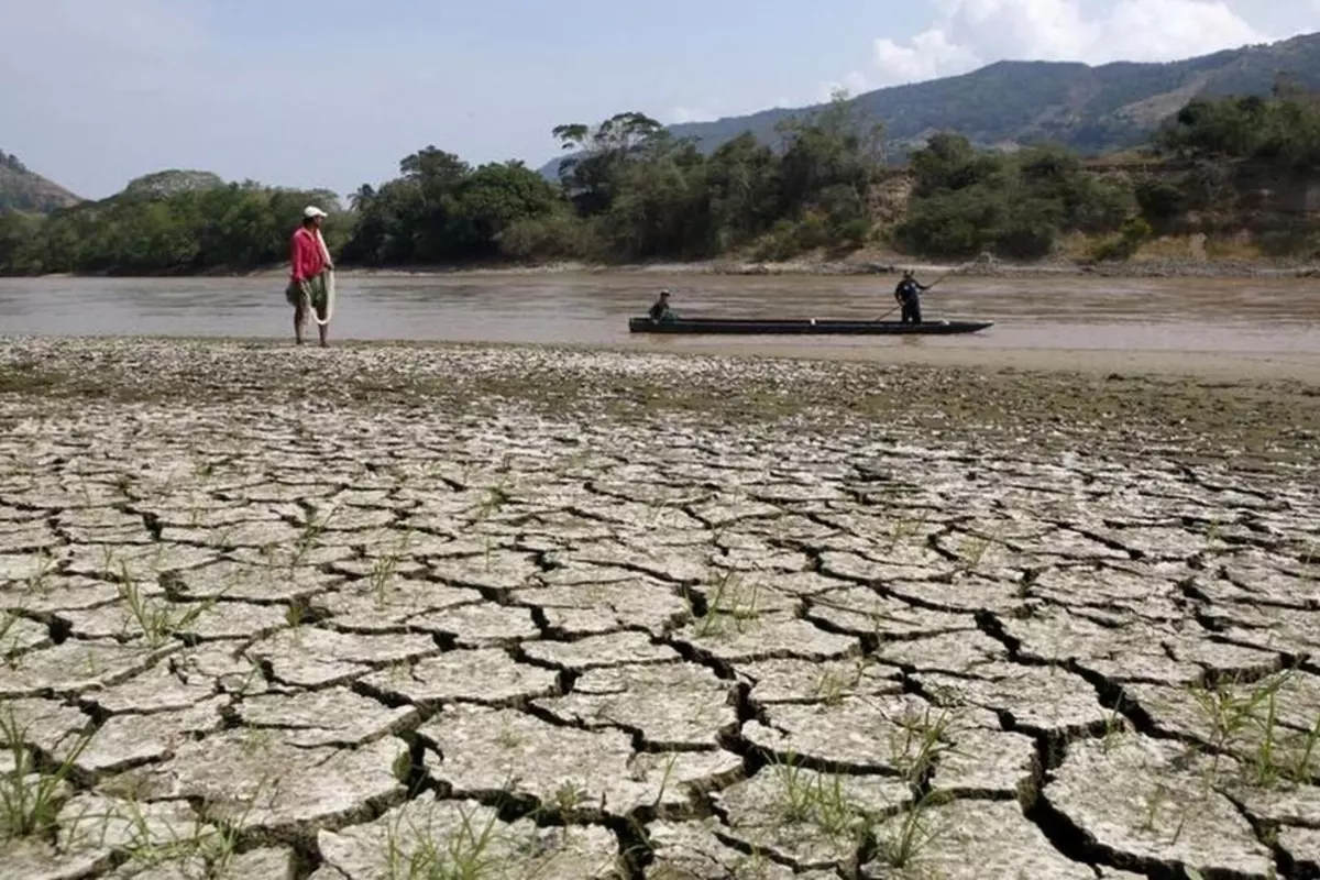
A weather-changing El Nino has begun, with the potential to dampen the Atlantic hurricane season.
On Thursday, the US Climate Prediction Center said, “The equatorial Pacific Ocean’s sea surface temperatures have climbed 0.5C (0.9F) above normal and wind patterns have shifted to the point where El Nino criteria have been met”.
The National Weather Service agency is likewise certain that the current conditions will continue.
In an interview, a forecaster at the centre, Michelle L’Heureux said, “El Nino conditions are present and we expect them to mature and grow as we get into the Northern Hemisphere winter”.
El Ninos disrupt weather patterns all throughout the world, causing drought in Australia and India as well as increased rain in California during winter. Wind shear can be unleashed across the Caribbean and Gulf of Mexico, tearing hurricanes and tropical storms apart, but there are few significant repercussions to North America over the next three months.
L’Heureux stated, “Impacts over North America during the summer are very limited”.
“They are weak and don’t persist from El Nino to El Niño event”, L’Heureux continued.
This is the first El Niño in more than three years, and forecasts anticipate it will be moderate, if not strong. The stronger El Ninos become, the more probable they are to have an impact on global weather patterns.
The Bureau of Meteorology in Australia warned Tuesday that the world is on the cusp of an El Nino, but stopped short of declaring one. The phenomenon is defined differently in the US and Australia.
According to L’Heureux, It’s merely a set of criteria.
Also read: France Declares Nuclear Energy ‘Non-Negotiable’
To read more such news, download Bharat Express news apps


