



AI Generated Image
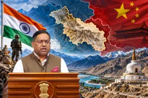
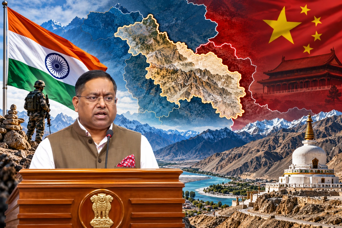
India on Tuesday rejected China’s objections to naming 28 geographical features in Ladakh.
The Ministry of External Affairs (MEA) reaffirmed that the Union Territory remains an ‘integral and inalienable part of India’.
MEA spokesperson Randhir Jaiswal responded to remarks by Chinese Foreign Ministry spokesperson Mao Ning. He referred to the Ministry of Home Affairs’ statement on the identification of 28 places and geographical features in Ladakh.
Jaiswal said India had named these locations on the official Survey of India map.
The government consulted the Union Territory’s administration and local stakeholders before finalising the names.
“It is reiterated that the UT of Ladakh is an integral and inalienable part of India. No amount of denial by the Chinese side can change this fact,” Jaiswal said.
The MEA spokesperson added that the Home Ministry’s statement was self-explanatory.
The official mapping exercise aims to improve geographical identification and public awareness.
Mao Ning opposed India’s move earlier on Tuesday. She described the identification of the 28 locations as ‘illegal and void’.
Earlier this month, the Centre announced the standardisation of names for 28 places and geographical features in Ladakh.
The government said the exercise would highlight their geographical significance and help the public identify their exact locations.
The identified features include Atisha Giri Peak, Kanishka Peak, Zorawar Peak, Parpik Glacier, Skamri Glacier and Shachmirk Pass. Other locations, however, include Gogra Land Area, Panglung Land Area, Guru Rinpoche Lake and Marpa Lotsava Ri Peak.
The list covers mountains, peaks, glaciers, passes, valleys, rivers, hot springs and land areas.
Standardising geographical names carries administrative, strategic and legal significance. It creates uniform references for official records and maps. It can, however, prevent confusion caused by different local names.
Official mapping can further reinforce India’s stated territorial position. It provides a formal record amid disputes over geographical names in border regions, including Ladakh and Arunachal Pradesh.
Also Read: Will LTCG Tax And STT Change In Budget 2027? What Sitharaman Said
To read more such news, download Bharat Express news apps