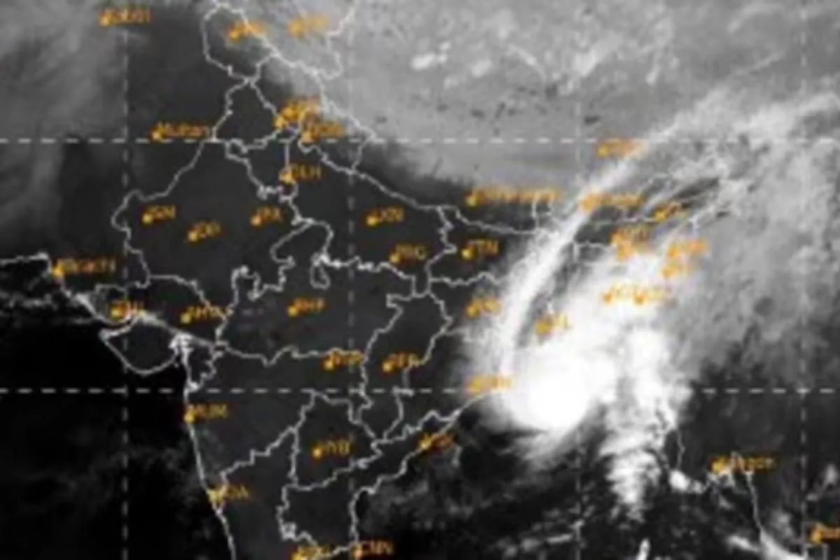
The cyclonic storm has been christened 'Hamoon', a name given by Iran.
According to the India Meteorological Department (IMD), cyclonic storm “Hamoon” has become a severe cyclonic storm over the Northwest Bay of Bengal. As per the weather predicting organization, it is very likely that Cyclone “Hamoon” will keep moving in a direction that is almost north-northeastward. According to the most recent estimates, the storm is expected to make landfall as a deep depression on the Bangladeshi coast between Khepupara and Chittagong on October 25, 2023, around noon.
Storm Hamoon over North East
The northeastern states of Manipur, Mizoram, Tripura, and Meghalaya, as well as south Assam, are anticipated to see mild to moderate rainfall as a result of the severe cyclonic storm over the Bay of Bengal. On October 24, Mizoram is predicted to have significant rainfall, with Tripura also expecting significant precipitation. October 25 will see a chance for heavy rain in some areas, but by October 26, it is expected to be mostly replaced by light to moderate rain.
On October 24 and 25, mild to moderate rain is predicted for eastern Meghalaya and south Assam, with isolated heavy downpours possible in south Assam. Light to moderate rain is expected in most locations on October 24. The coastal regions of Odisha are not immune to Hamoon’s influence.
Also Read: Hindon Air Force KV-One School is busy in fulfilling the dreams of the PM Modi
West Bengal to be affected as well
The coastal areas of West Bengal should also be ready for weather changes. On October 24, the Met Department has predicted mostly mild to moderate rainfall, with sporadic heavy rains across West Bengal’s coastal regions. Strong winds are also being produced by Cyclonic Storm Hamoon in parts of Eastern India and the Bay of Bengal.
Up till October 24, squally winds with gusts of up to 60 kmph are predicted along and off the coast of Odisha. Beginning on October 24 in the morning, these winds will blow along and offshore the shores of Bangladesh, West Bengal, and northern Myanmar. On October 25th, they are expected to progressively pick up, reaching 55-65 kmph with gusts to 75 kmph along and off the coast of Bangladesh, 50-60 kmph with gusts to 70 kmph along and off the coast of North Myanmar, and 45-55 kmph with gusts to 65 kmph along and off the coast of West Bengal.
October 25, Mizoram and Tripura are predicted to experience squally winds with speeds between 40 and 50 kmph, with gusts as high as 60 kmph. On the same day, South Assam and Manipur should experience strong winds with gusts up to 50 kmph.
To read more such news, download Bharat Express news apps


